Take the guesswork out of your surveying operations
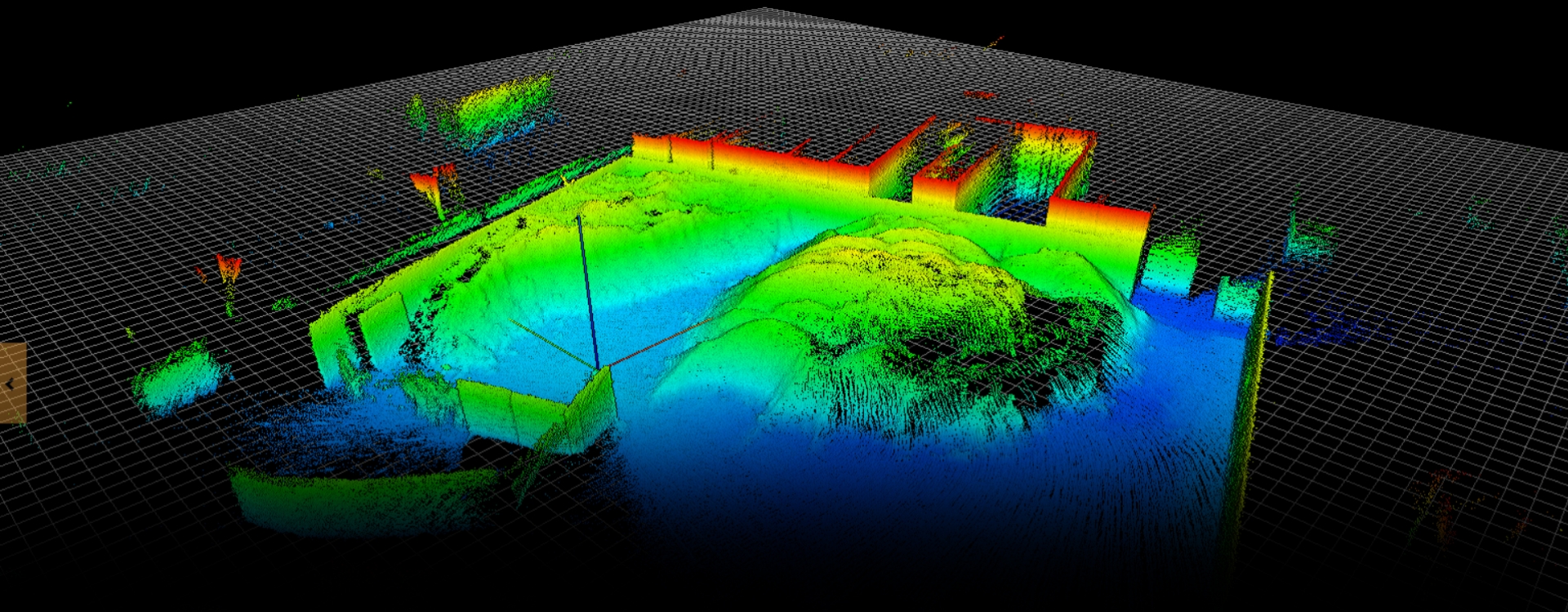
Mapping areas that are out of reach or too dangerous for humans is very difficult yet critical to support operational decisions. Elios 3 and GeoSLAM Connect work hand in hand to map and survey the most inaccessible spaces, guiding your business decisions with precise and accurate data - in all safety.

Survey-grade mapping
Transform Elios 3 LiDAR datasets into highly accurate 3D models with a precision of ± 2cm thanks to a robust SLAM algorithm featuring loop closure & global optimization.
Adjust algorithm settings to build optimal maps even for harsh data capture scenarios such as dark, dusty, or reflective environments.
Enhance your point-clouds using filtering options to make them look cleaner and more defined.

Highly accurate measurement
Perform distance, surface, and volumetric measurements to support various use cases in Mining & Aggregates or Infrastructure & Utilities industries.
Whether your desired outcome is in two or three dimensions GeoSLAM Connect for Elios 3 is the entry gate to the whole GeoSLAM software suite including solutions for: Stockpile Volumes Monitoring, Production Mapping, Convergence Analysis, Shaft Inspection, Floorplanning, Construction Progress Tracking, and Scan to BIM.

Georeferencing & DATA ALIGNMENT
Using reflective targets automatically identified by the software as Ground Control Points, accurately match any point of your map with its coordinates in the real world so you can reconcile above- & underground data.
Combine multiple models into a single one aggregating data captured across missions to get a consolidated view of your workings.


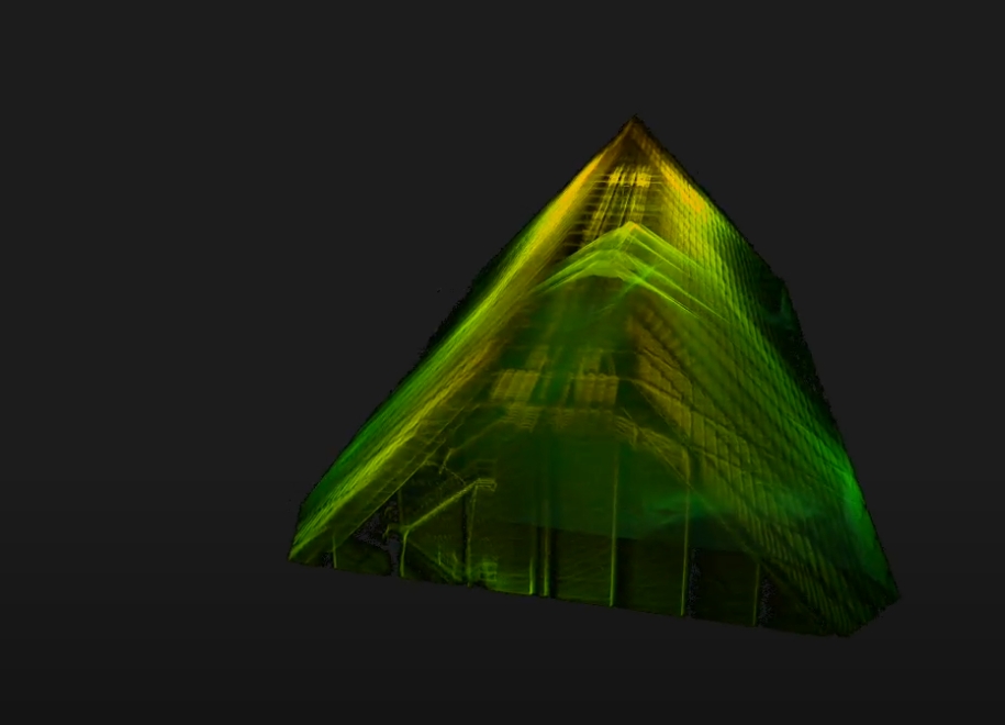
Create clean, georeferenced point clouds automatically
Powered by the world’s leading SLAM algorithm alongside 3D visualisation of your data, additional processing and filtering, workflow automation tools and integration into third party software applications. With the press of one button, your data will be automatically processed in GeoSLAM Connect, saved in a folder of your choice, and prepared for the next step of your workflow.
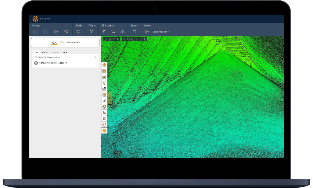


Data import
Drag and drop datasets into Connect where a pre-selected workflow will automatically begin processing. Datasets can also be browsed and selected for upload.


Data management
Data files can be sorted into projects defined by the user. Projects can be used to manage multiple scans from a single site, date or operator or from a common data processing workflow.


Data filtering
Data filtering tools including outlier removal, surface noise reduction, cropping, smoothing and data thinning result in cleaner, more defined point clouds.


Automated workflows
Common workflows, such as importing the data, adjusting the parameters and exporting, can be automated into a single operation, simplifying data processing for users.
When to use Elios 3 & GeoSLAM Connect
Whether you are in underground mines, surveying inaccessibles infrastructures or mapping indoor stockpiles, surveying unreachable areas is now possible.
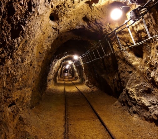
Mining
For mapping and volumetric measurements.
Locations:
- Stopes
- Ore passes
- Shafts
- Draw points
- Ventilation systems
Applications:
- Convergence monitoring
- Rock mass classification
- Volumetric measurement for over / under break, reconciliations and stockpile paste scheduling
- Confirm backfilling volumes and heights
- Improve scheduling and backfill design, reduce production interruptions
- Quickly identify remaining stope volumes
- Locating hang ups
- Thickness and volume measurement of blockages
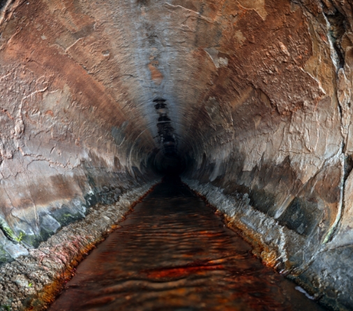
Infrastructure & Utilities
For mapping and georeferencing
Locations:
- Tunnels
- Buildings
- Production plants
- Construction grounds
- Emergency sites
- Warehouses
- Caves
- Historical sites
- Critical infrastructures such as bridges, pipes, dams, refineries
Applications:
- Mapping and georeferencing of existing workings in order to plan for further civil engineering development (usually underground).
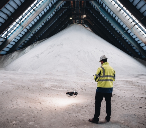
Stockpiles
For volumetric measurement and management
Locations:
- Silos
- Tanks
- Indoor and underground stockpiles
Applications:
- Production
- Beneficiation
- Logistics
- Ports
- Sales

